Back to Blog
Google Maps uses roughly 5-20MB per hour of live turn-by-turn navigation, Apple Maps and Waze land in a similar range, and Maps.me uses almost nothing once its offline maps are downloaded. The bigger differences aren't in raw data cost — they're in what each app can actually do without a live connection, which matters more than the per-hour number once you're relying on a fixed travel data plan like a co:sim eSIM. This guide compares all four so you can size your data plan correctly instead of guessing.
Live, connected navigation is lighter than most travelers assume. Google Maps' standard turn-by-turn mode uses about 5-20MB per hour according to Astound's data usage breakdown, climbing toward the higher end with live traffic enabled and far higher (into the hundreds of MB per hour) if you switch to satellite view. That's genuinely small: an hour of driving with turn-by-turn directions costs less data than a few minutes of video streaming.
Waze runs in a comparable range for live use, since it's built entirely around live traffic and user-reported road data rather than static map tiles. Apple Maps' live mode is similarly light. The real split between these apps shows up the moment your connection drops, not while it's active — which is the more useful number to know before a trip, and covered next.
This is where the four apps genuinely diverge, and it matters more for trip planning than the live data-per-hour figures above.
Google Maps supports full offline maps you download in advance, but the offline mode is more limited than most people expect. Google's own help documentation is direct about what's missing: "transit, bicycling, or walking directions are unavailable" offline, and if you're driving offline, "you can't get traffic info or alternate routes." Turn-by-turn driving directions work within your downloaded area; everything else needs a live connection. This site's guide to using Google Maps offline abroad covers exactly how to download and set up that offline mode step by step, so this guide won't repeat those instructions here.
Apple Maps actually does better here, and it's a genuine surprise if you've only used Google's offline mode. Apple's own support documentation confirms that within a downloaded offline map, you can "get turn-by-turn directions for driving, walking, cycling, or riding transit" — Apple's offline maps guide lists all four modes as supported offline, not just driving. The trade-off is the same as Google's on live rerouting: no traffic updates or alternate routes once you're off the grid.
Waze doesn't have true offline maps at all. Android Police's own testing found that Waze caches only the active route you started while still connected — it will finish guiding you along that specific route from cache, but it can't calculate a new route, search an address, or reroute after a wrong turn without a live connection. If your connection drops before you start navigating, Waze can't help you at all.
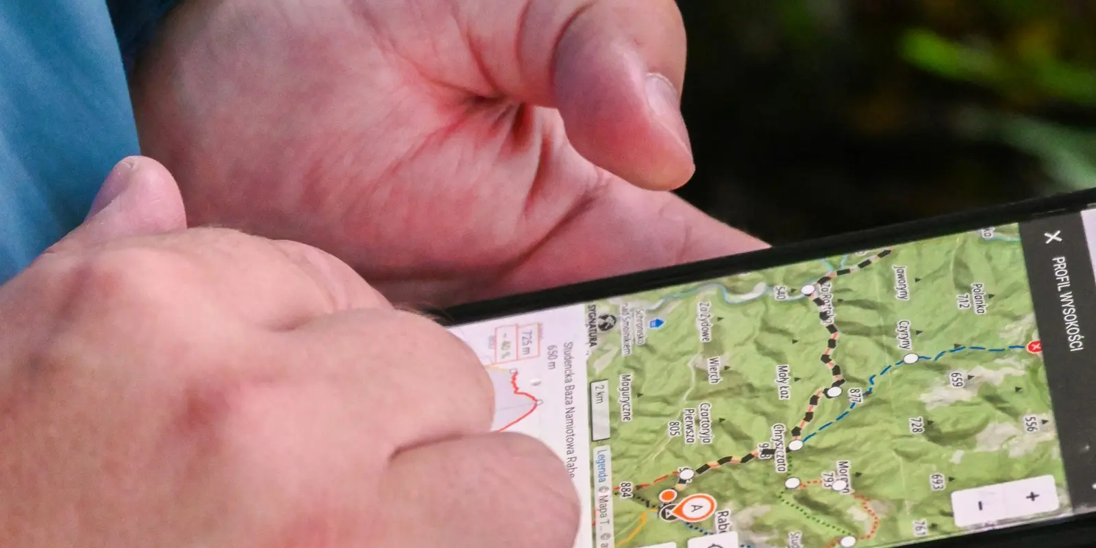
Maps.me takes the opposite approach from all three: it's built offline-first. Once you download a region's map over Wi-Fi, its own app listing highlights hiking trails, contour lines, and hill shading alongside standard turn-by-turn directions, and none of it needs a live connection to work. It also lets you build a route from a saved track, useful for a hiking trail that a mainstream driving app doesn't map at all.
For a city trip with a working eSIM data connection, this mostly doesn't matter — Google Maps, Apple Maps, and Waze all perform well live, and the data cost of any of them is small next to what a typical data-only plan carries. co:sim's data-only eSIM plans are sized for exactly this kind of everyday use: maps, messaging, and browsing add up to only a few hundred MB across a full day for most travelers.
The planning question that actually matters is what happens when you lose signal — a rural stretch of highway, a rail tunnel, or a hiking trail past the edge of coverage. For driving, Apple Maps' offline mode covers more scenarios than Google's, since it keeps walking and transit directions working offline too. For a hiking trip specifically, Maps.me's offline-first design and trail-focused features are a better fit than any of the mainstream driving apps. Waze is the one to treat with the most caution offline: without an active connection before you start navigating, it can't route you at all.
co:sim's Japan eSIM is one example of a plan sized around this kind of everyday, maps-plus-messaging use — most travelers use a small fraction of even a modest daily allowance on navigation alone, which leaves headroom for everything else on the trip.
No. Google Maps' standard turn-by-turn navigation is one of the lighter things a phone does on mobile data, using roughly 5-20MB per hour according to independent data usage testing, and considerably less than an hour of music or video streaming. Usage climbs if you enable live traffic or switch to satellite view, which can push consumption into the hundreds of MB per hour, so it's worth sticking to standard map view while navigating if you're managing a smaller data plan. The bigger consideration isn't the live data cost at all: Google's offline mode, unlike Apple's, doesn't support walking, cycling, or transit directions once you lose your connection, only driving. A co:sim data-only eSIM easily covers a full day of live Google Maps navigation alongside normal messaging and browsing.
Yes, and more completely than Google Maps can. Apple's own support documentation confirms that a downloaded offline map supports turn-by-turn directions for driving, walking, cycling, and public transit, all without an internet connection — Google's offline mode, by contrast, explicitly excludes walking, cycling, and transit directions and only supports offline driving. Both apps share the same limitation on live features: no traffic updates, no alternate routes, and no rerouting once you're offline, since those need a live connection to calculate. If you're planning a trip where you might lose signal and want walking directions to keep working, Apple Maps' offline mode is the more complete option between the two. Either way, download the offline area over Wi-Fi before you leave rather than relying on mobile data for what can be a sizeable file, and confirm the download actually finished before you lose signal for good.
Waze is built entirely around live, crowdsourced data (real-time traffic conditions, user-reported hazards, and police checkpoints), which is the opposite design philosophy from a downloadable offline map. Testing from independent reviewers confirms Waze has no true offline maps feature: it caches only the specific route you started navigating while still connected, letting you finish that one route from cached data, but it can't calculate a new route, search for an address, or reroute after a missed turn without an active connection. If your data connection is genuinely unreliable where you're traveling, Waze is the riskiest of the four apps covered here to depend on, since it needs to be online at the moment you start navigating, not just at some point during the trip.
For a genuinely offline hiking trip, yes, in the ways that matter most. Maps.me (and apps built on the same open-source mapping data) are designed offline-first, with hiking trails, contour lines, and hill shading built into the downloaded map itself, plus the ability to build a route from an imported or saved track — useful for a specific trail that a mainstream driving app simply doesn't include. Google Maps' offline mode, by comparison, is built around driving routes within a downloaded city or region, not trail-level hiking detail, and it drops walking directions entirely once offline. If your trip mixes city navigation with a day of trail hiking, it's worth having both: a co:sim eSIM's live data connection for Google or Apple Maps in town, and Maps.me's offline trail data for the parts of the trip with no signal at all.
A data-only eSIM covers live navigation, maps, and everyday browsing for a full day of travel on a small fraction of most plans' data allowance.
Mexico
1-day trip pass
From $2.99
Canada
1-day trip pass
From $2.99
Brazil
Valid 7 days
From $3.99
Instant delivery by email · Install before you fly
 Travel Tips
A practical guide to internet in Saudi Arabia for Hajj and Umrah pilgrims: how the Nusuk app works, where networks get congested during the pilgrimage, honest notes on WhatsApp calling, and why installing an eSIM before you fly skips the biometric SIM counter.
 Travel Tips
A practical guide to internet in Israel for tourists: free city Wi-Fi, SIM and eSIM options, desert coverage gaps, and why Shabbat closures (including the airport SIM counter) make installing an eSIM before you fly worth it.
 Travel Tips
Staying connected in Czechia depends on where your phone plan is from. Here's what actually works in Prague, including the metro, and how to set it up before you land.
 co:sim Team